 |
| (Copyright 2010, Green Mountain Club) |
The first section, which was only 5 miles out and back, was very easy. See for yourself on the map. Almost table-flat. It was a really pretty hike, though, particularly the lake, so I knew that I had to save the connecting hike for 2 weeks.
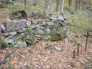
Fast forward two weeks...my girlfriend is up to visit and leaf-peep. We got kind of a late start on the hike (I think we started around 11), packing sandwiches and GORP for an even later lunch. We also started at a parking lot that cut off .4 miles. Having done it before, I'm fine with this. So up White Rock Mountain we went. We got to the White Rocks, a creepy place where people have built hundreds of cairns.
We then did something completely foreign to me- we hiked .2 miles off the trail (and back downhill) to a vista. It was probably worth it. We had pretty good weather all day, and avoided the rain we had a chance of getting. It had rained the night before, though, so a lot of the trail was pond-like after we got out of the high spruce/fir forests.

We finally go to the Pond around 2:30, scrambled up a rock that had some great views, and tucked into some grilled avocado sandwiches. It was a pretty good way to spend an afternoon. We kind of had to rush back on the 2nd half to beat sundown, but overall it was an amazing hike.
One thing I particularly enjoyed about the hike (besides the girlfriend) was seeing what a difference 2 weeks makes on a trail. The idea of being in the same place two different times is kind of foreign to thru-hikers, at least, and I don't remember what the air smelled like or how the breeze felt 4 years ago when I was doing that section.
I don't have my journal from the AT with me, but what I remember about this section was being creeped out by the White Rocks, and asking the caretaker at the Little Rock Pond shelter where I stayed one night what she thought of Joe Biden (she was from Delaware and it was election season 2008).
GPS Routes:
USFS to Little Rock Pond


