Saturday, September 22, 2012

Let's make Kimchi!


So this is the first recipe I'm posting here, but it's essential. As you will soon find out, Kimchi can go in almost anything. Definitely in anything that needs spicy fermented cabbage. Koreans eat more than 40 pounds a year of the stuff on average, and if you scale this recipe up 20x, you can too!

You will need:
Hardware-
3-4 quart jars with lids and rings
A giant, non-reactive bowl or 3-4 big mixing bowls

Software (all of this stuff is kind of optional except for the cabbage, salt, and chili paste)-
-6 medium carrots
-1 bunch of scallions/green onions (probably around 7-8 total)
-1 giant Napa cabbage
-3 medium Bok Choy cabbage
-1 2-inch chunk of ginger
-Around a cup of kosher/sea salt
-2/3-1 cup of Sambal Oelek or Korean Chili paste (to taste)- generally comes in a clear jar with a green lid
-2-3 tbsp of sweetener (white sugar, cane sugar, honey, etc.)
-1 Habanero (certainly optional)
-1 cucumber (optional)
-5 cloves of garlic (optional)

So this recipe takes 4-5 days to make, but it's all baby steps.
Step One: Make a brine with the salt and 6 cups of water or so. I think this covered me, but you may wind up making more. The brine should be about as salty as the ocean.
Step Two: Cut and peel the carrots and ginger into matchsticks (this will be the longest job). Why so many carrots? Here's why: pickled carrots maintain their crunch and get sweeter the longer they ferment. Also, unlike Bok Choy, which, despite being the most popular green veggie on the planet can be expensive, carrots are super cheap. Drop all of those matchsticks into your brine (which will be in the big bowl/3-4 smaller bowls). Clean and wash the cabbage, and chop it into 1 inch pieces (I start with about 3/4 inch pieces towards the base  and get to 1.5 inch pieces in the leaves for the Bok Choy). Drop this into the bowl, and mix with your hands. Dice your habanero (very optional) and garlic (which will be good pickled, but sometimes turn a weird blue color), and add the to the mix. Add the cucumber too, if you want. I only add the cuke about half the time, because they really don't hold their texture too well. Anyway, mix all this with your hands or a spoon, put a heavy plate on the veggies so they stay submerged in the broth, and cover with plastic wrap. Leave in a cool dark place for 24 hours.
Pre-Kimchi soaking in Brine
 

Step Three: Put the salted vegetables in a colander and wash most of the salt off. The cabbage, in particular, will have absorbed enough to stay sufficiently salty. In a big bowl, mix the chili paste and sugar, and add the veggies. Chop your scallions into 1 inch pieces, and add them to the bowl. Mix with a spoon, add more chili paste or sugar to taste (spice level is according to your preference, and the Kimchi shouldn't be too sweet). Pack the Kimchi into cans (mine made 3 full quarts), and tighten the rings just enough to give the lids some space to move. When the Kimchi is fermenting over the next few days, you want to have a way for the air bubbles to escape. I generally let mine rest for 2 days, but anything up to a week is probably okay if you like it super funky. When it tastes how you want it to, tighten the rings and refrigerate. This will stop the fermentation. Enjoy! Taste great in fried rice, omelets/tofu scramble, and Kimchi pizza. The juice makes a lot of things taste better, too.
I kept losing more and more Kimchi in seeing if it was done


Monday, September 10, 2012

Hiking the Long Trail- "One Piece At a Time"


The middle chunk was last week's hike.
(Also from GMC's maps, Copyright 2010)

So one of the challenges with sectioning the Long Trail is that you have a car you have to come back to, which means that hiking tends to start and end in parking lots, and creativity is required in figuring out how much to hike. Hiking it piecemeal lets you try some different things, too. My beloved Vasques are kind of falling apart, so I brought along my runners and tried to up the pace a little bit.


One does not simply run through Vermont


The first section, a 1 mile scramble up to the Clarendon Shelter, was what we meant to do last week, and was not really suitable for running. It was fun, though, and the weather was a perfect 75 degrees, so I had no complaints.


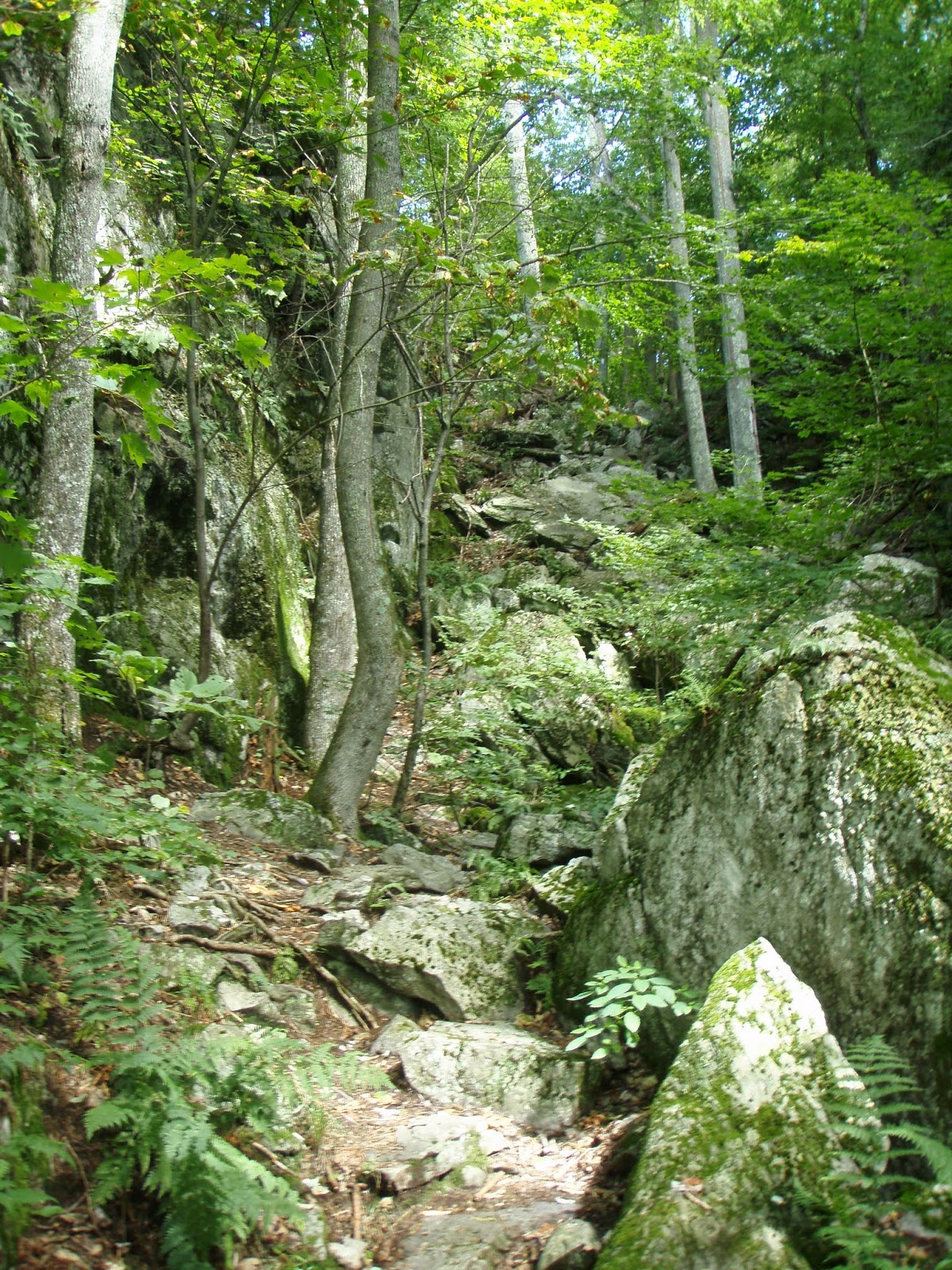
Typical Lowland Maple/Beech/Birch Forest

The next section was a 3.3 mile hike over Bear Mountain (one of 11 Bear mtns in the state, and one of about 50 on the A.T.) and to the shelter my girlfriend and I stopped at going south last week. I got a little bit of running in here, but probably just 2 miles. The uphill was a lot of slick stone steps (it poured down rain the night before), the flat spots were similarly muddy, and the downhill consisted of switchbacks cut into the mountain (running down which would be like gunning a truck down Lombard street). Still a great time to clear my mind and enjoy the fleeting weather. I did not follow through with my plan to jump in a nearby river to cool off afterwards, however.


More Pictures:

Tiny King Boletus


Yeah. Eft you, pal!


GPS Routes:
103 to Clarendon Shelter

Friday, September 7, 2012

Calvin Coolidge and a little hiking


The Bridge of Death!

My girlfriend came up to visit last week. This is an account of some of our adventures (not included: watching Hook, seeing Joseph Smith birthplace, driving around). The first day we were near Rutland visiting friends (and an adorable baby), so we were going to knock out that one mile from the Clarendon Shelter to rt. 103. I can't read a map and we wound up going in the other direction, over Clarendon gorge and to the Minvera Hinchey shelter (2.7 miles, ~'1000 feet). Getting over the gorge required going over a wobbly suspension bridge, which required the boyfriend rocking it back and forth, Temple of Doom-style ("Hang on lady, we going for a ride!"- Short Round).

We scrambled up the hill, watched some birds and planes fly around the Rutland airport, and kept hiking. Eventually I figured out that I'd made a mistake in my navigation, and we decided to keep going and go 5.2 miles.

We had a good day for being outside

The next day we decided to get our nerd on and go to the Calvin Coolidge State Historical Site. The big parking lot was so full that cars (from Tennessee, Arizona, California...) were parked in the grass. I don't feel quite that strongly about President Coolidge either way. I don't really know that much meaningful about him: his wife Grace basically masterminded his rise to power and he was sworn in by his father in Vermont after Harding was murdered by his wife. Also, his Vice President, Charles Dawes, won the Nobel Prize and had a son named Rufus Fearing Dawes, who drowned in a lake. We eschewed the crowded historical site for Plymouth Notch Cemetery, where Coolidge and his wife (and about 60 other Coolidges) are buried. I had heard good reviews of the place, and it lived up to its billing as a gorgeous old cemetery. We also overheard some older folks swapping stories about all of the presidential burial sites they'd seen. Apparently some people make a serious effort to see every site (and probably root for people like Jimmy Carter to "go ahead and die, already"). This seems like a worthwhile way to spend one's retirement.


On the way back from Plymouth, we went by Quechee Gorge. We walked about a mile across the bridge and then down under it. Then we drove home and ate some cake.


More Pictures:

Friday, August 31, 2012

Section Hiking the Long Trail, pt. 1 (rt. 4 to Gov. Clarendon Shelter)


Photo lovingly yanked from GMC's Long Trail Guide, Copyright 2010

The Inn at Long Trail is right in the middle of this shot (that's where my car is)
So one of my goals while I’m up here is to hike all of the 272 mile Long Trail, which stretches from the Massachusetts border to Canada and inspired the creation of the Appalachian trail. I’ve already hike 100 miles of the trail, where it runs along the AT, but thought a re-hike of those sections was in order to test my mettle and to really make a claim at hiking the Long Trail. So I decided to go from rt. 4 (along the Sherburne Pass Trail- the old A.T. and L.T.) to the Clarendon Shelter, 15.7 miles away and over Killington Peak, 2400’ higher than where I was starting. The first day was fairly easy: I got a late start (10:30) because I had some housekeeping before I drove to the trailhead, but still sauntered up Killington in time for lunch. I saw a few flocks of ruffed grouse in the woods, which are roughly chicken-shaped and very noisy when disturbed.


I spent the evening at the Clarendon Shelter, dispensing some unsolicited advice to SOBOs, telling NOBOs they were halfway done, etc. I also heard sobering news: that a North-bounder had drowned two months earlier near the Pierce Pond lean-to in Maine. I still remember the place vividly. The lean-to overlooks Pierce pond and is such a beautiful spot that, on my thru-hike, I stopped at that shelter after only hiking 4 miles that day. Apparently the young man went swimming out in the pond (like a lot of hikers do), swam too close to the cold-water spring that feeds the pond, and cramped up. His friends tried to save him, but didn’t make it out in time.

I found the first day easier than I expected: I clearly lacked the cardiac efficiency or the Rob Liefeld calves of my old AT self, but I also wasn’t sore.  I was thinking about hiking even further than I did (another 3.7 to the Minerva Hinchey shelter), but I’m glad I reined it in. The second day, I still wasn’t in AT shape, but now I was just as sore. What to do? I decided to take the alternate route, which thru-hikers took last year as a result of damage from Hurricane Irene, because a.) hiking the same thing twice tends to be enough for me, b.) it featured a lot of road walking, which I thought would be a little easier, and c.) views off the trail tend to be better than views on the trail. I think the alternate route was about 6 miles and added roughly 2 miles overall, but I got back on the 2012 trail before the next shelter (and in time for the climb back up Killington).

Somewhere right before Killington, I turned a corner and saw, 20 feet in front of me, what I assumed was the fattest little dog I’d ever seen. Then I thought it was a bear cub, and readied myself for a good mauling. By the time I realized that it was a porcupine, it was ambling its way through the brush. I wanted a good picture, but I remembered what happened to the Michael J. Fox dog in Homeward Bound and I was still 3 hours from a road.


Overall, it was a fun start to the Long Trail, and I was struck by the lingering effects of Hurricane 
Irene. Even though it had happened almost exactly a year earlier, bridges and roads were still gone, and a lot of the hiking around rivers and creeks was through sand, which had been deposited by high waters.
This was a road before Irene
This was a bridge before Irene


 Pictures (because I can't quite make a slideshow do what I want it to):
Part of the hike up Killington
I like foreboading signs
 

One passes through 17th and 18th century homesteads
(and fencerows, foundations, and farming implements) regularly

500 Mile (50% of the work!) mark for SoBos.
I don't remember seeing a marker last time


Garmin Connect link from Day 1:


Wednesday, August 22, 2012

An Afternoon in Montpelier


Hey all! Plan on me dumping pictures/maps/nerd stuff from outdoor adventures on here, and the occasional vegan recipe. Maybe books reviews or other obnoxious thoughts, too! I wanted to put a test post up to see how it would look, and thought this was slightly more interesting than a list of the books/records I brought with me.

Today's Adventure: Montpelier!

 
Montpelier is an interesting place. At less than 8,000 people, it's the smallest state capital in the country, and the only one without a McDonald's. Atop the Neoclassical dome of the state building is Ceres, Roman Goddess of Agriculture (Demeter, her Greek equivalent, was always right up there with Athena in my personal pantheon of favorites). In keeping with this agricultural theme, many of the places in front of the capital steps where you would expect to see flowers have been sewn with veggies like cabbage and onions instead.


Chester A. Arthur. You know how people say Mitt Romney
"looks like a president"?  The media said that Chester
"looked like a president" when he became president
(though mean old Woodrow Wilson later called him something to the
effect of a "nonentity with sideburns").
These days, somebody with Chester A. Arthur's facial hair would
draw remarks that he a.)"looks like he can't be trusted",
or b.) "looks like the bass player in a metal band".

 Also, I learned a random fact today which I will now unload. I was wandering down the remarkably open hallway of the capital building (no metal detectors, etc.) and came across the portrait of someone who I immediately recognized as Chester A. Arthur, who I had assumed was from New York. Not so! He was actually born in Vermont and just spent most of his productive life in the Empire State. Of all of the presidents in United States history, Chester A. Arthur probably had the most unpredictable presidential career. After rising through the ranks of the New York political machine (and being famous/infamous for his loyalty to the party bosses), President Arthur completely obliterated the corrupt system 99% of political observers thought he was beholden to. Also, he visited his wife's grave ever day after she died, so there's that.